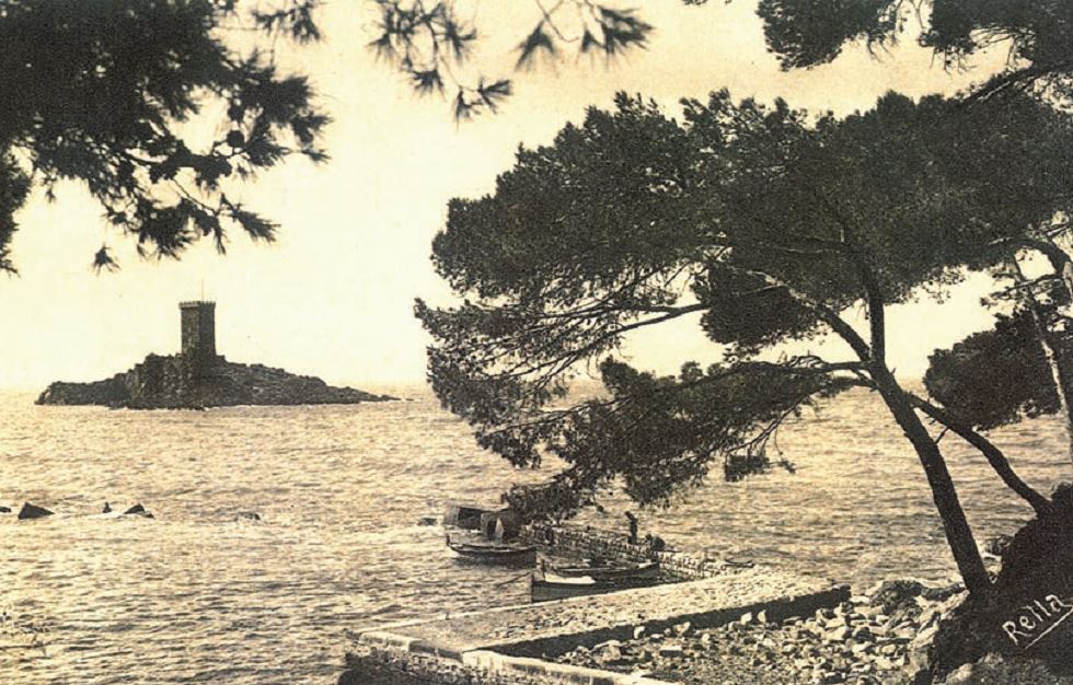
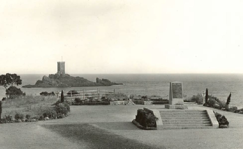
The coast and the port of Poussaï
Audio guide in English
BEFORE THE USE OF THE QUARRIES, THE COAST LOOKED LIKE A HLAND ALTERNATING ROCKS, GRAVEL, SAND AND WILD VEGETATION.
In 1897, the maritime inspection consented to the spreading of all the tailings cliffs and authorized a discharge limit
at sea. The shore will advance 80 meters, and will form the current pebble beach.
From 1870, the first porphyry extractions
lead to discharges of stone residues that pile up,
giving the site the appearance of cliffs.
In 1897, a conflict opposed the prud’homie des Pêcheurs
Raphaëlois who come to set up their nets off the
Dramont, and the porphyry quarry company considered
responsible for the modification of the coastline.
Disposal of residues led to a reduction in the quality
fishing and made a creek disappear where there were
caught sardines and bugs.
To put an end to this conflict, the maritime inspection
imposes a financial penalty on the operating company,
as well as the creation of a quay in the cove of Poussaï in
benefit of fishermen and boaters.
The port of Poussaï was created in 1907.